
Four survey platforms. One coordinated data.
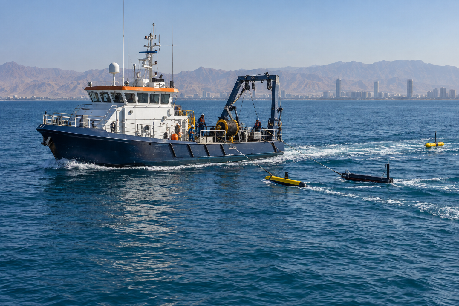
Traditional Geophysical Boat Survey
A crewed survey vessel can bring several sensor systems into one coordinated offshore programme. Depending on the objective, the configuration may include single-beam or multibeam echo sounding, side-scan sonar, sub-bottom profiling and marine magnetometry.
Applications
- Seabed survey
- Dredging projects
- Port and harbor development
- Pipeline and cable route and inspection surveys
- Debris identification
- Archaeological investigations
- Sediment studies
- Coastal engineering
- Habitat mapping
- Nautical charting
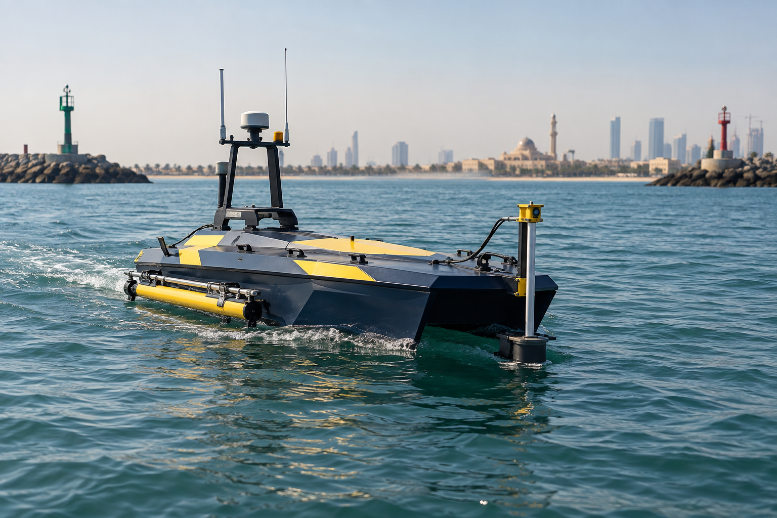
USV Geophysical Survey
A low-draft uncrewed surface vessel follows planned survey lines in shallow or constrained water while a qualified team supervises its operation. A suitable USV can carry multibeam echo sounder (MBES), side-scan sonar (SSS) or sub-bottom profiler (SBP) payloads, subject to vessel capacity and site conditions.
Capabilities and applications
- Nearshore and restricted access
- Reduced personnel exposure afloat
- Seabed surveys for shallow and deep waters
- Pipeline inspection
- Dredging projects
- Port and harbor development
- Pipeline and cable route and inspection surveys
- Debris identification
- Archaeological investigations
- Sediment studies
- Coastal engineering
- Habitat mapping
- Nautical charting
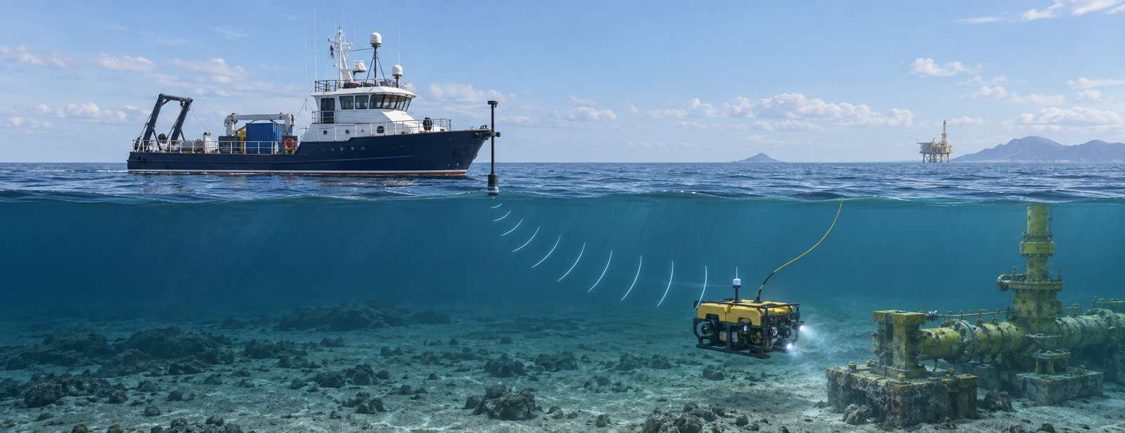
Surface & Subsea Positioning Survey
Accurate positioning connects vessel tracks, survey sensors, ROVs and subsea assets to a consistent project reference frame. Surface GNSS and motion sensors can be integrated with acoustic subsea positioning such as USBL or LBL, with offsets, timing and datum transformations checked for the task.
Applications
- Vessel navigation
- Subsea asset tracking
- Seabed datum and controls design
- ROV positioning
- Mattress and grout bag deployment support
- Subsea construction
- Subsea intervention works
- Rig move
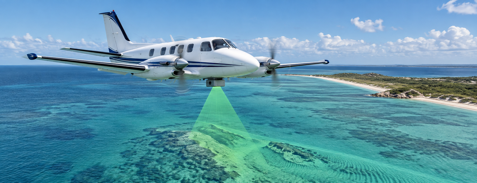
Aerial LiDAR Bathymetry Survey
Airborne bathymetric LiDAR uses water-penetrating laser returns to map clear, shallow coastal water and the land–water transition. Vessel-mounted single-beam echo sounding is a separate, complementary method for validation or gaps where optical coverage is limited.
Survey focus
- Shallow-area bathymetry
- Large-area coverage
- IHO compliance
- Bathymetry only
Images are AI-generated illustrations of survey methods, not photographs of SIAGIS equipment.
Survey design comes first
Before acquisition, we define the area, targets, coverage, accuracy, positioning reference, operating limits and quality checks. The final sensor package and deliverables are agreed for each project. Airborne LiDAR coverage depends strongly on water clarity; single-beam sonar is an acoustic method, not a LiDAR mode.
Discuss Geophysical Survey with SIAGIS
Share your survey area, objective, available data and target programme.