
From remote stations to environmental intelligence.
ARSH™ stands for Automated Remote Sensing Hub. It is SIAGIS’s planned web-based Environmental & Meteorological Intelligence Platform: a place to bring data from connected field stations together for monitoring, analysis, visualisation and action.
The intended scope connects meteorology, environmental sensor networks and groundwater monitoring with dashboards, alarms, historical records, models, reports and maintenance planning.
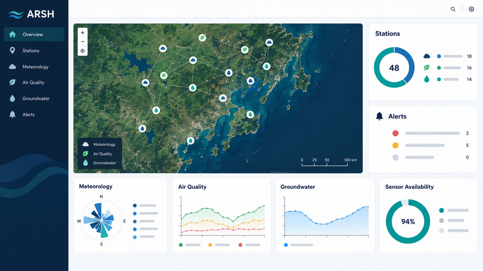
One hub for the monitoring lifecycle
ARSH™ is being designed around the journey from instrument reading to usable evidence and timely response.
Connected sensor networks
Bring meteorological, environmental and groundwater stations into a single planned monitoring architecture.
Real-time station data
Receive readings from connected stations as they arrive, with station status and data availability in view.
Web dashboards and maps
Explore conditions by location, parameter and time through role-appropriate web-based views.
Analysis and models
Compare trends, apply quality checks and incorporate configured analytical or forecasting models.
Alarms and response
Define thresholds, surface exceptions and route alerts to the people responsible for review.
Historical archive
Store time-stamped observations and make past conditions available for comparison and audit.
Reports and exports
Prepare recurring or on-demand summaries, charts and data extracts for project reporting.
Maintenance planning
Track station health, inspection, calibration and service tasks alongside the monitoring record.
Connected from field to screen
- 01 · StationsMeteorological, environmental and groundwater instruments collect observations.
- 02 · TelemetryCommunications transmit readings and station-health information to the hub.
- 03 · ARSH™The platform stores, checks and organises readings for maps, trends and models.
- 04 · ActionUsers review dashboards, alarms, archives, reports and maintenance needs.
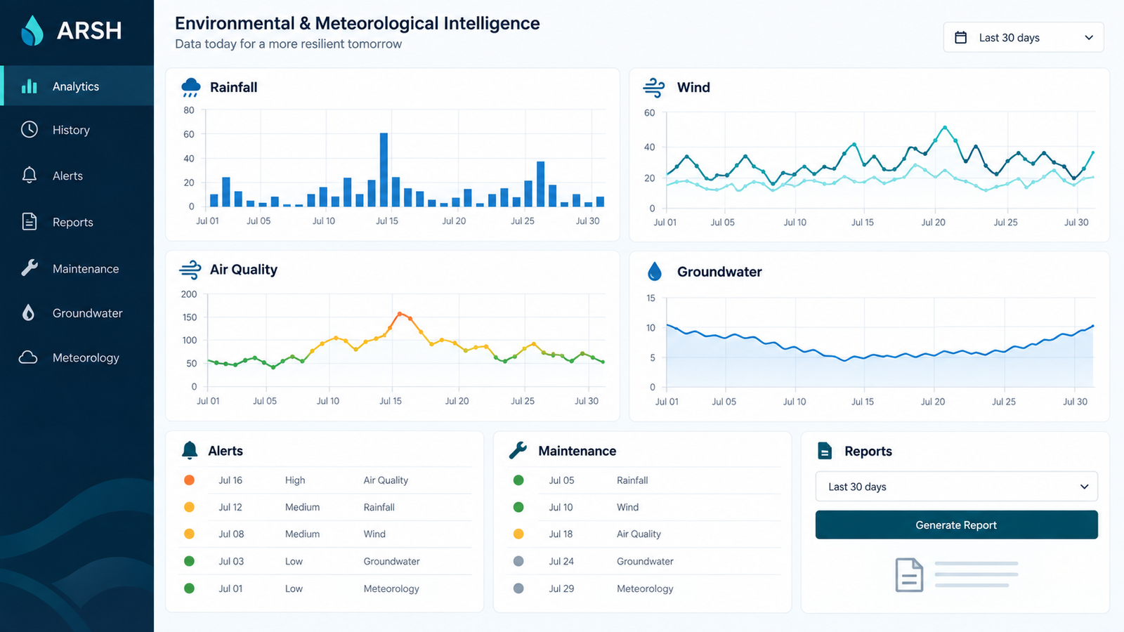
Analysis, alerts and history in one view
The proposed workspace brings current conditions together with longer-term trends and operational follow-up.
Help shape the requirements
ARSH™ is at the product-design stage. Station protocols, data quality rules, user roles, model integrations, alert logic, reporting needs and deployment timing will be defined during development. If you have a monitoring use case, SIAGIS welcomes a discussion about the requirements and a potential pilot.
Discuss ARSH™ with SIAGIS
Tell us about your sites, instruments, data flows and monitoring objectives.