
Six ways to map land, coast and assets.
SIAGIS combines ground, aerial and satellite survey methods to build a reliable spatial picture for development, infrastructure and coastal projects. The method is selected around site access, coverage, required detail, datum and intended use.

Land Survey
Land surveys establish project control and measure ground levels, visible features and site geometry. GNSS and total stations can be combined to capture the detail needed for planning, design, construction and as-built records.
Survey focus
- Site levels and terrain
- Visible structures and features
- Project control and setting-out support
Topographic plans, spot levels, contours, digital terrain models and coordinate schedules.
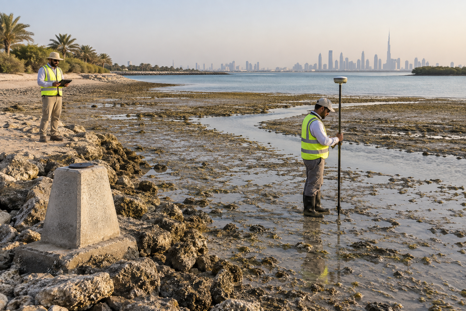
Tidal Land Survey
Timed to suitable low-water conditions, this survey measures exposed beaches, tidal flats and the land–water transition. Levels are tied to an agreed vertical or tidal datum so foreshore information can be compared with shoreline and marine datasets.
Survey focus
- Exposed intertidal terrain
- Shoreline profiles and change
- Tidal windows and datum control
Foreshore levels, cross-sections, intertidal terrain surfaces and mapped shoreline features.
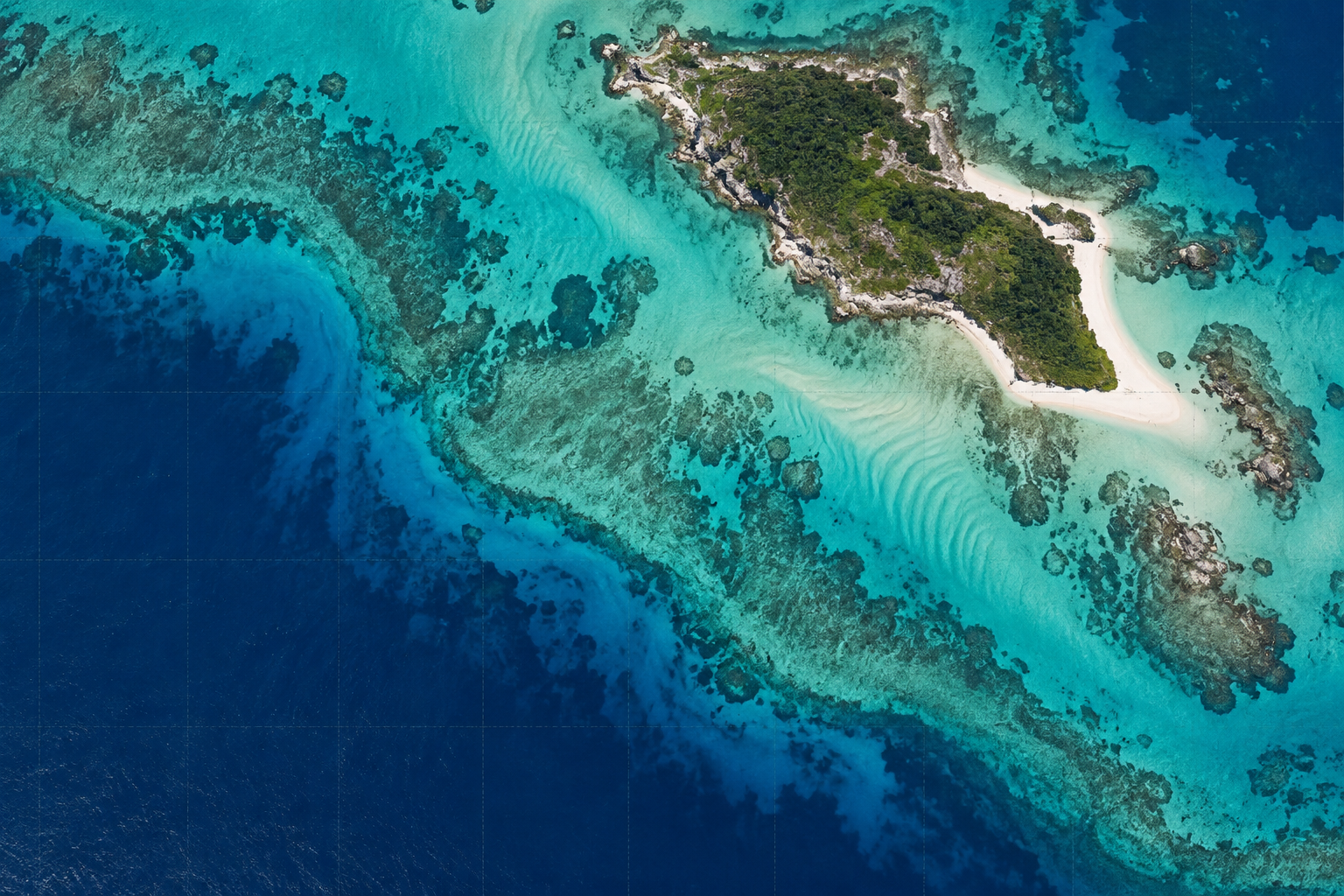
Satellite-Derived Bathymetry
Satellite imagery can be processed to estimate depths in clear, shallow water where conventional access is limited or broad coastal reconnaissance is needed. Water clarity, bottom type and available depth measurements affect confidence; the result is assessed and validated for its intended use.
Survey focus
- Remote island and coast screening
- Shallow-water depth patterns
- Coverage and uncertainty review
Georeferenced shallow-water depth surfaces, coverage maps and an interpretation of limitations and confidence.
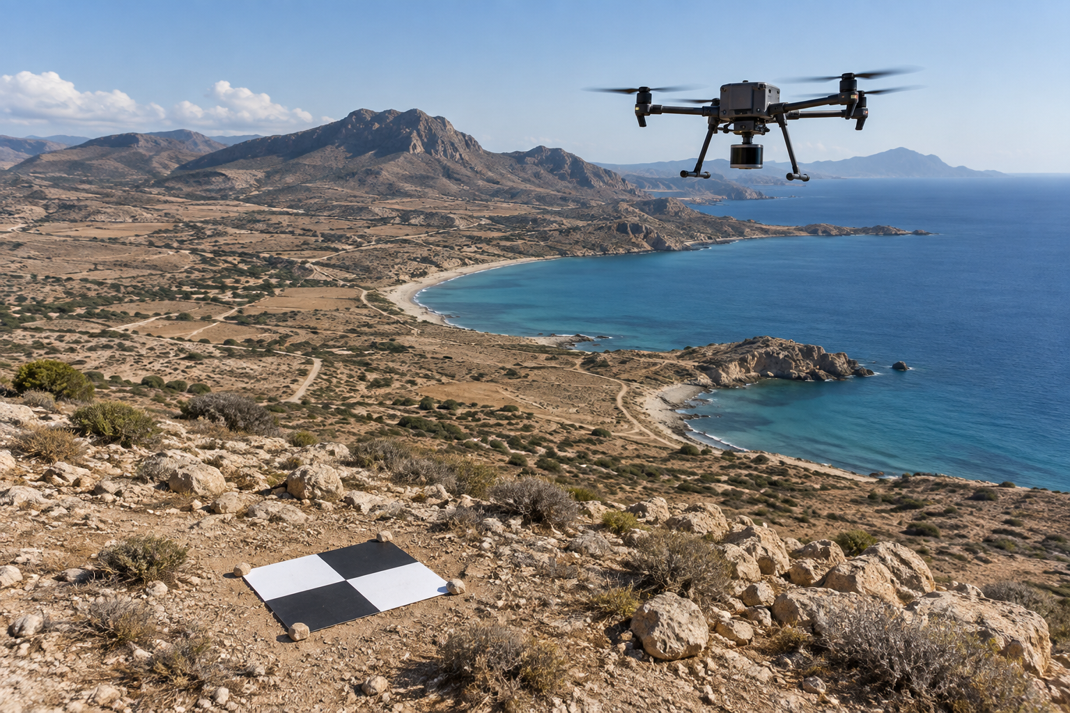
Aerial Topographic Survey
Aerial imagery or topographic LiDAR can capture extensive or difficult-to-access terrain efficiently. Ground control and quality checks connect the aerial measurements to the project coordinate system and required accuracy.
Survey focus
- Terrain and surface models
- Orthomosaics and point clouds
- Progress and change surveys
Georeferenced imagery, point clouds, digital surface or terrain models, contours and change maps as scoped.
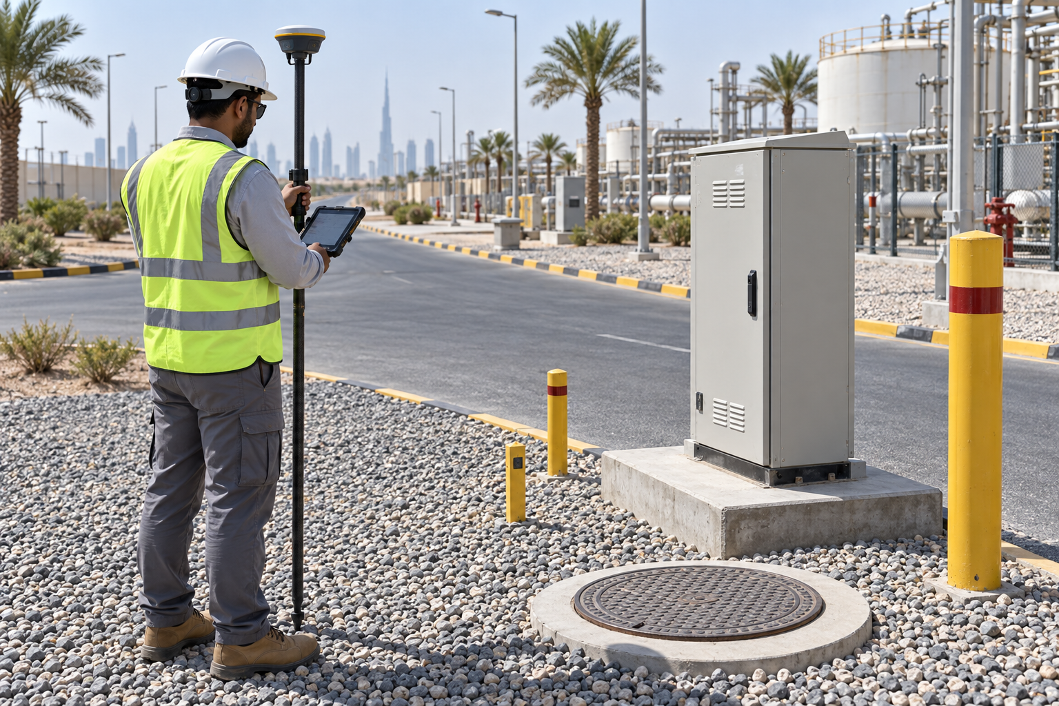
Land Assets Management Survey
A structured field inventory locates visible infrastructure and records agreed attributes such as asset type, identifier and condition. Surveyed positions and verified records can be linked to a GIS register for maintenance, planning and change control.
Survey focus
- Visible asset locations
- Attributes and condition
- GIS-ready inventory
Asset coordinates, mapped inventory, field photographs and a structured GIS or database handover.
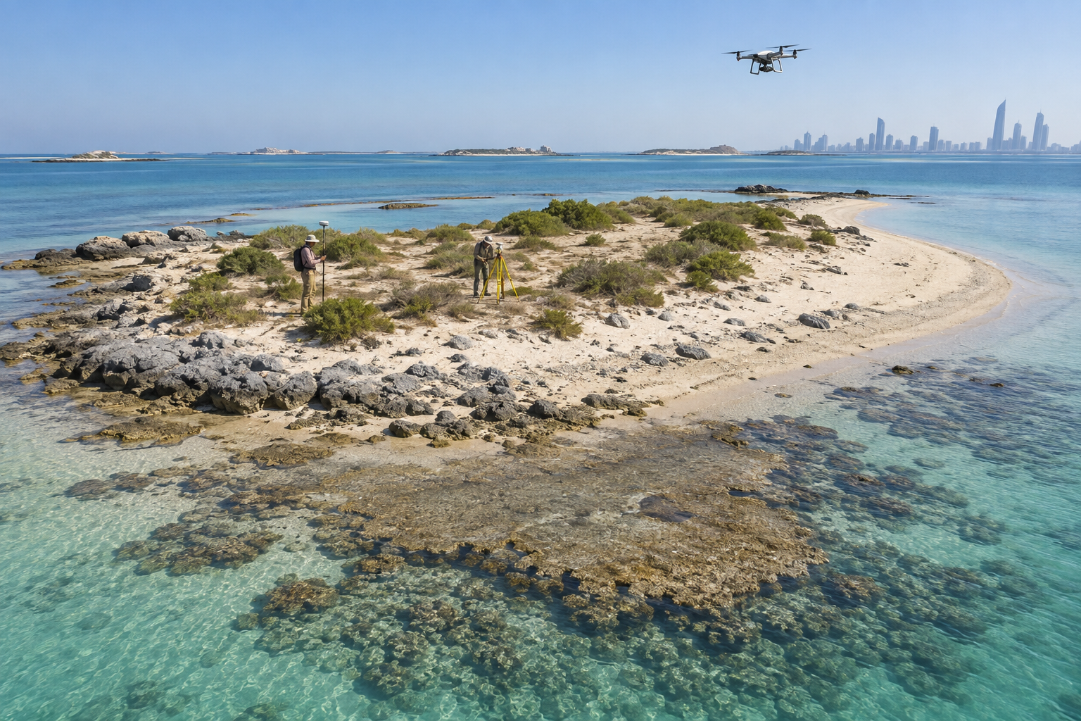
Island Survey
Island surveys combine land control, terrain measurement, shoreline mapping and, where appropriate, intertidal or nearshore datasets in one reference framework. The scope is tailored to island access, coastal change and the project decisions the map must support.
Survey focus
- Island terrain and access
- Shoreline and coastal profiles
- Connected land–sea datums
Unified island basemap, terrain model, shoreline record and coordinated survey data package.
Images are AI-generated illustrations of survey methods, not photographs of SIAGIS equipment.
One reference framework, fit-for-purpose results
Before fieldwork, we agree the survey area, coordinate and vertical datums, accuracy, access and deliverables. Tidal windows and permits shape coastal and aerial work. Satellite-derived depths are subject to water clarity, seabed conditions and validation; they are not automatically a replacement for a project-specific hydrographic survey.
Discuss Topographic Survey with SIAGIS
Share your site or coastal area, survey objective, available data and target programme.